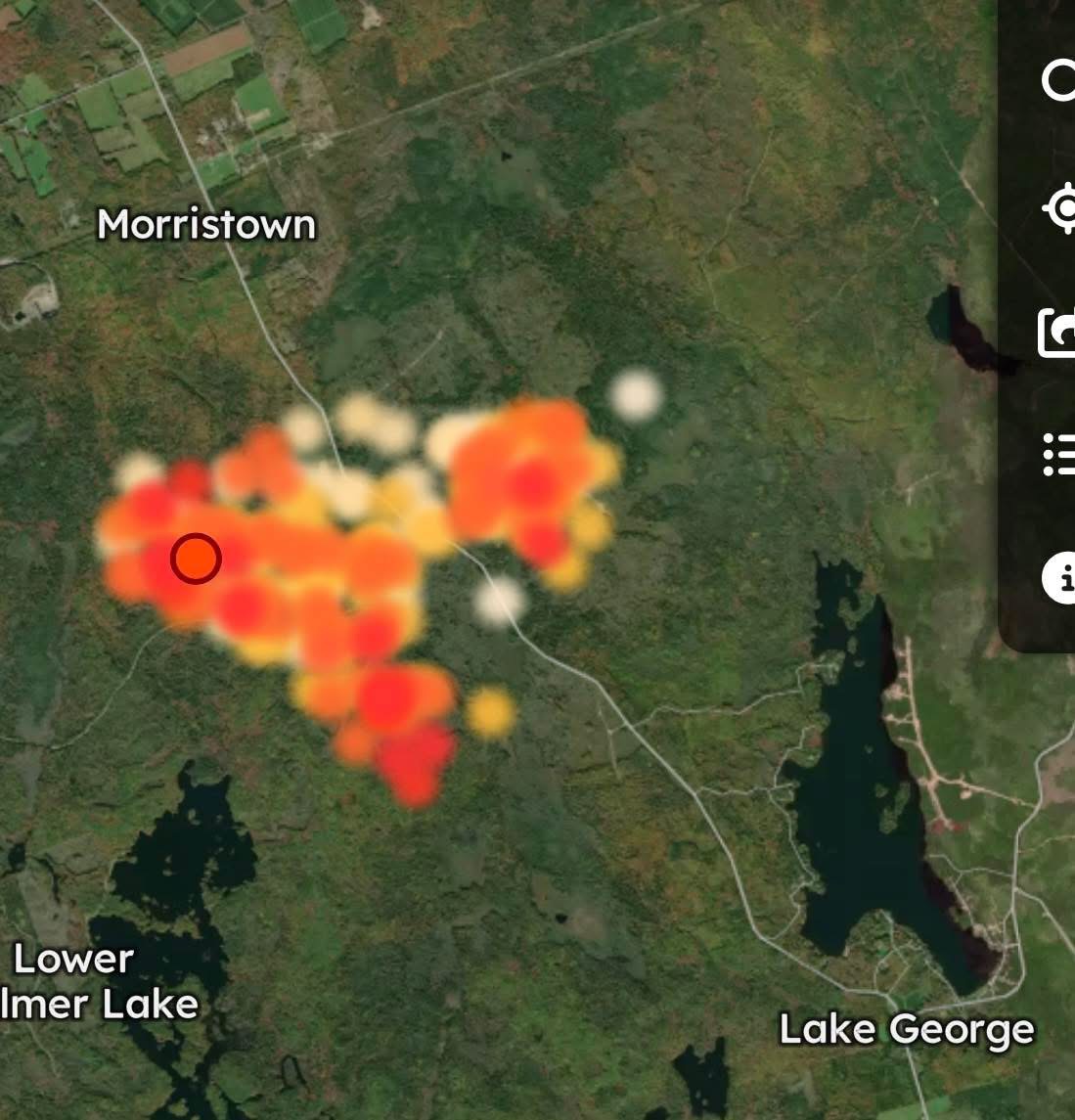
I’m very hesitant when sharing any satellite photos.
After consulting with numerous of my contacts, many whom are reliable sources, and specialize in large scale wildfires, this is the current approximate fire area of the Lake George Wildfire.
It’s important to note that this is not exact and these satellite images are based off of hot spots.
🔴 Red is considered high activity.
🟠 Orange is considered medium activity.
🟡 Yellow is low activity.
This particular satellite imagery and the hot spots fades out the longer they have been active.
It’s been two hours since the last hot spots were detected.
Winds continue to shift back and forth consistently and the fire is changing its direction in short notice quite regularly.
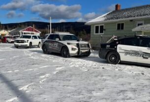
Many evacuations and precautionary evacuations are in place.
⚠️ Please Note: This is not an exact overview of the current burn area but provides a brief overview of the area impacted to those in our communities.
You view the satellite by visiting here ⤵️
Adrian J.